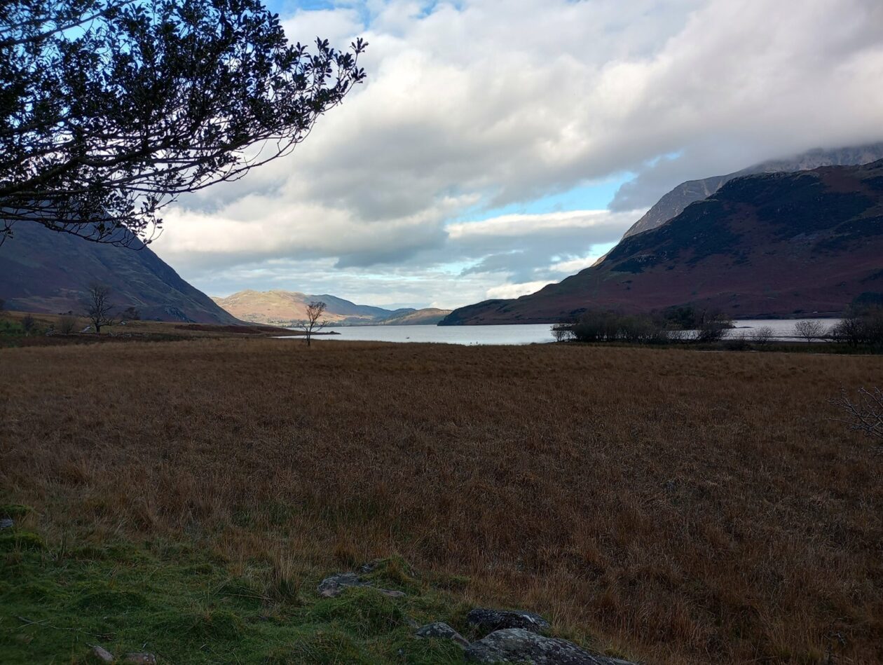
Walk title: Buttermere and Crummock Water
Group: Summit Good
Meet time: 9.15am
Start time: 9.30am
Estimated finish time: 3pm to 3.30pm
Distance: 12.6 miles (20.3 kilometres)
Ascent: About 1550 feet (472 meters)
Ramblers walk grading: B (Moderate)
Start point: Syke Farm Tea Room
Postcode: CA13 9XA
Car parking: There is a pay-and-display car park within Buttermere next to the public toilets. While just east of the little church building there is a long lay-by- and this is the beginning of the western end of the Newlands Pass.
It is the responsibility of each walker to make sure they understand where to park. If you are not sure where the car parking/meeting point is, you must contact the walk leader at the latest the day before the walk. You should not rely on mobile phones or postcodes. There is often no mobile reception near walk meeting points and postcodes are for the nearest place nearby but should only serve as a guideline. Please allow plenty of time to find a parking space so that walks can start promptly.
Description: We will leave Buttermere and take the path between Buttermere Lake and Crummock Water. The first part of the walk is a loop around Crummock Water starting from its southern point and going around clockwise. To our left is the long twin-peaked Mellbreak and to the right, dominating the scene, is the tall Grasmoor.
Throughout most of the western shoreline of Crummock Water we will have Mellbreak looming over to our left. Once we reach the northern point of this lake, we will come to Lanthwaite Wood and walk through there as we go down the eastern shoreline of Crummock Water. The views become very different as Rannerdale Knotts and the western Buttermere mountains constantly catch our eye.
When we cross the road (B5289) we will veer somewhat away from Crummock Water, but this is a necessity as there is no path nor pavement along this road. The footpath takes us just to the north of Rannerdale Knotts and the path will have to be followed because leaving it means going on the ground which has the bluebells- they won’t be there but the bulbs just under the soil may be disturbed, so we stick to the path.
After arcing around the northern side of Rannerdale Knotts we come to the first and only ascent of the day- taking the path which starts by the road and ascending 250 meters to get to the top of Rannerdale Knotts. This is a very small, ridge-like mountain but has amazing views of the two lakes and all of the nearby mountains. We follow the ridgeline of Rannerdale Knotts for a bit before descending and returning to Buttermere. Once there we will stop by one of the cafes.
The next part of the walk is a loop around Buttermere Lake- my favourite lake in the Lake District and my favourite area in general. The loop we will take is clockwise going through the eastern shore and then around the western shore. The lake of Buttermere is shorter, but the views are even more impressive than those from Crummock Water.
Once the loop of this lake is done it is back to Buttermere itself to end the walk!
Please contact Miles on 07842 783319 by 10pm on Friday 6 October if you are coming on this walk (text or phone, or message on Facebook (Miles Saunders-Priem)). This walk is suitable for dogs as there are not many sheep found around these mountains.
Please check the weather and bring appropriate clothing (waterproofs and spare warm clothing), footwear and enough food and water. The leader reserves the right to turn away any walker not suitably equipped. The leader may cancel the walk or modify the route dependent on conditions.
Car sharing is now possible – please contact the walk leader to arrange.
New members: please note the walk leader may ask for more information about your walking experience. This is to ensure you have the fitness required to complete the walk that is planned safely.