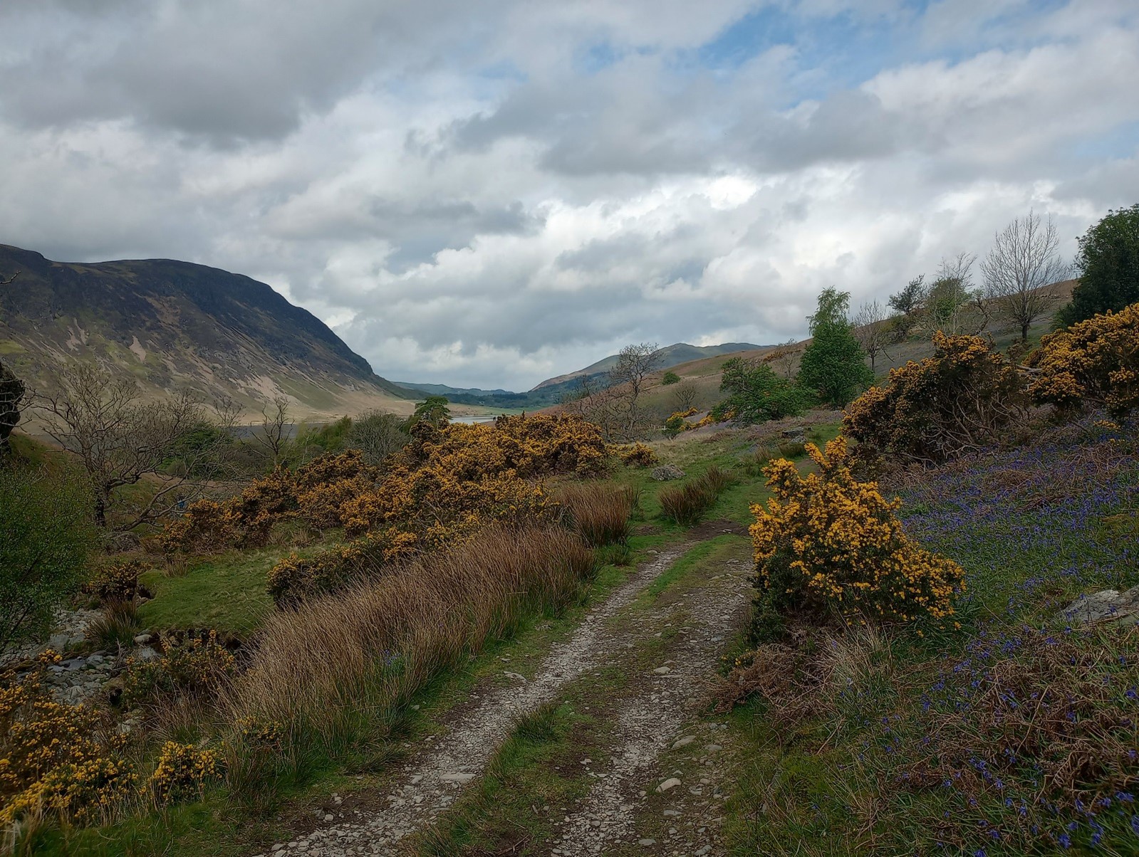
Walk title: Rannerdale Bluebells
Group: Summit Good
Meet time: 9.15am
Start time: 9.30am
Estimated finish time: 3pm to 3.30pm
Distance: 12.6 miles (20.3 kilometres) (this includes Rannerdale Knotts)
Ascent: About 1550 feet (472 meters) (again including Rannerdale Knotts, the ascent is very small without this mountain)
Ramblers walk grading: B (Moderate)
Start point: Sykes Farm Tearoom
Postcode: CA13 9XA
Car parking: There is a pay-and-display car park within Buttermere next to the public toilets. While just east of the little church building there is a long lay-by- and this is the beginning of the western end of the Newlands Pass.
It is the responsibility of each walker to make sure they understand where to park. If you are not sure where the car parking/meeting point is, you must contact the walk leader at the latest the day before the walk. You should not rely on mobile phones or postcodes. There is often no mobile reception near walk meeting points and postcodes are for the nearest place nearby but should only serve as a guideline. Please allow plenty of time to find a parking space so that walks can start promptly.
Description: During April and May the Rannerdale bluebells come into flower. People say the most ideal time to see the bluebells is late April to early May, so hopefully the bluebells will be fully vibrant come this Saturday 27th April.
This walk starts from Buttermere and goes around Crummock Water in a clockwise fashion going from the Mellbreak shoreline to the Grasmoor shoreline. Mellbreak looms over to our left and with Crummock Water to our right. Ideally we can follow the full western length of Crummock Water by going past the Pump House and going over the footbridges if the water levels are lower, if not then we take various paths, tracks and a few country roads to enter Lanthwaite Wood which marks the northern point of Crummock Water.
Once on the eastern shoreline of Crummock Water Grasmoor, Whiteless Pike and Rannerdale Knotts will be the mountains looming over us as the path runs parallel to the B5239. We cross the road at one of the Rannerdale car parks to enter the tiny valley of Rannerdale and into the bluebell meadows. There is a very slight ascent as enter the valley somewhat before swinging around the northern face of Rannerdale Knotts to get back to the Road.
At this point there is the option of ascending Rannerdale Knotts (which is only 355 meters) to get a great vantage point of both Buttermere and Crummock Water. Either route will take us back to Buttermere village and Sykes Farm Tearoom
Please contact Miles on 07842 783319 by 10pm on Friday 26 April if you are coming on this walk (text or phone, or message on Facebook (Miles Saunders-Priem)). This walk is suitable for dogs.
Please check the weather and bring appropriate clothing (waterproofs and spare warm clothing), footwear and enough food and water. The leader reserves the right to turn away any walker not suitably equipped. The leader may cancel the walk or modify the route dependent on conditions.
Car sharing is now possible – please contact the walk leader to arrange.
New members: please note the walk leader may ask for more information about your walking experience. This is to ensure you have the fitness required to complete the walk that is planned safely.