Meet time: 9.15am
Start time: 9.30am
Estimated finish time: 4pm to 4.30pm
Distance: 9.8 miles (15.77 kilometres)
Ascent: About 3,210 feet (978.4 meters)
Ramblers walk grading: A (Strenuous)
Start point: The Sadgill Car Park (a very wide gravel track close to the stone bridge) Google Map coordinates: 54.444083, -2.797913
Postcode: LA8 9BE
Car parking: Car parking is found only at the start point. I would highly recommend getting there before 9am.
It is the responsibility of each walker to make sure they understand where to park. If you are not sure where the car parking/meeting point is, you must contact the walk leader at the latest the day before the walk. You should not rely on mobile phones or postcodes. There is often no mobile reception near walk meeting points and postcodes are for the nearest place nearby but should only serve as a guideline. Please allow plenty of time to find a parking space so that walks can start promptly.
Description: Most hikers of the Lakes have heard of the Kentmere Horseshoe, but it is rather long and timely, and I am of the firm opinion that this is one horseshoe best done in pieces: west, north and east. Thus, I have decided to create the Longsleddale Horseshow walk which is an obscure southeastern part of the Lake District. This walk encompasses all six Wainwrights of the Longsleddale Valley and part of the eastern Kentmere Horseshoe.
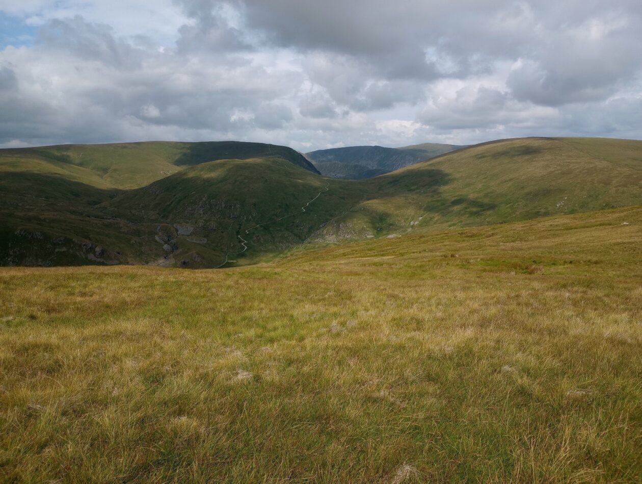
The walk begins with an immediate steep ascent which begins the approach to Grey Crag. After about a thousand feet of ascent we leave the valley and the top of Grey Crag can be seen. After following a weaving path through some swampy areas, we get to the top of Grey Crag (638 meters) and this mountain really does mark the boundary between Lake District fells and the outlying fells which reach all the way to the Howgills to the southeast.
From Grey Crag is where the horseshoe walk truly begins as it moves northwards to the next mountain: Tarn Crag. The navigation of Grecrag Tarn involves much weaving around swampy areas, jumping over beat bogs and much cursing- it is mercifully short though.
From Tarn Crag (664 meters) the grassy tops of the Longsleddale mountains can be clearly seen along with their craggy and cliff-covered bulk below. After Tarn Crag it’s on to Branstree, but between these two mountains is a brief plateau which looks straight down into the valley of Mosedale. Once at Branstree (713 meters) we see both Haweswater and Longsleddale; and for a vantage point it is a perfect vantage point which looks down two very different valleys.
We have to lose about 500 feet of height to reach Gatescarth Pass, which connects Haweswater to Longsleddale, to begin the 600-700 foot ascent to Harter Fell. Fortunately, the ascent to Harter Fell is gradual despite it being the highest point of the walk. Now Harter Fell is one of those mountains where the best vantage points are found just off the summit: the eastern one has an incredible view looking down at the Haweswater reservoir, while the southern one has a clearer view of the trio of peaks: Ill Bell, Froswick and Yoke. It’s from Harter Fell where the route feels like it has returned to the Lake District and this is where we come to the best section of the walk: the route from Harter Fell to Kentmere Pike (730 meters) and Shipman Knotts (587 meters).
After Shipman Knotts the next part of the walk is to reach the pass connecting the Kentmere and Longsleddale valleys, we take a left turn and follow a generous path to return to Sadgill; and thus completing the Longsleddale horseshoe walk.
Please contact Miles on 07842 783319 by 10pm on Friday 23 February if you are coming on this walk (text or phone, or message on Facebook (Miles Saunders-Priem)). This walk is suitable for dogs.
Please check the weather and bring appropriate clothing (waterproofs and spare warm clothing), footwear and enough food and water. The leader reserves the right to turn away any walker not suitably equipped. The leader may cancel the walk or modify the route dependent on conditions.
Car sharing is now possible – please contact the walk leader to arrange.
New members: please note the walk leader may ask for more information about your walking experience. This is to ensure you have the fitness required to complete the walk that is planned safely.