Meet time: 9.15am
Start time: 9.30am
Estimated finish time: 4pm to 4.30pm
Distance: 10.2 miles (16.4 kilometres)
Ascent: About 3,070 feet (936 meters)
Ramblers walk grading: A (Strenuous)
Start point: The car park at the end of the road (the Field Studies Council – Blencathra building is next to it)
Postcode: CA12 4SG
Car parking: There is a car park at the very end of Blease Road, approaching it there is woodland to the left and to the right the slopes of Blencathra (Blease Fell). Best to get there before 9am as it can fill up fast on a good day.
It is the responsibility of each walker to make sure they understand where to park. If you are not sure where the car parking/meeting point is, you must contact the walk leader at the latest the day before the walk. You should not rely on mobile phones or postcodes. There is often no mobile reception near walk meeting points and postcodes are for the nearest place nearby but should only serve as a guideline. Please allow plenty of time to find a parking space so that walks can start promptly.
Description: We will start from the car park and take various paths which keep to the southern feet of Blencathra, its ridges and its hanging valleys. For a few miles we shall see Blencathra menacingly loom over us to the left, while to our right we look out to the valley beyond and to the northern part of the Helvellyn Range.
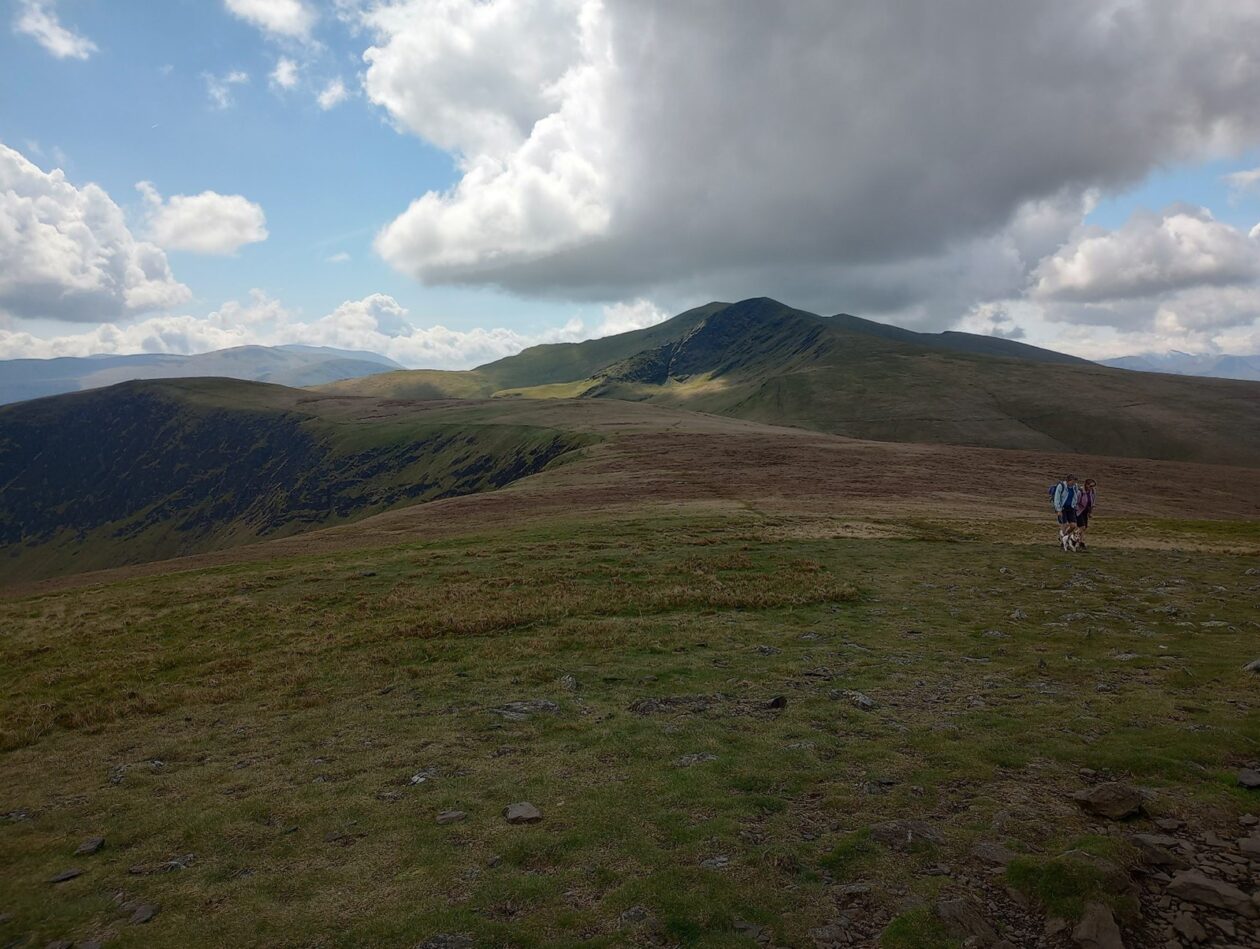
Once we’ve passed the hamlet of Scales then the first ascent begins as we have to reach the footbridge that crosses the River Glenderamackin so that we approach the first mountain of the day: Bannerdale Crags. We ascend several hundred feet to come to the top of Bannerdale Crags (683 meters) and we will greeted with a variety of amazing views: from the tongue-like ridges emerging from Bannerdale Crags to the east, and the Eden Valley further beyond; to the south can be seen many mountains from the eastern and far eastern fells; to the west is the steep eastern side of Blencathra; and to the north the wide, grassy mountains of the far northern fells.
After Bannerdale Crags we follow the path that goes along the top of the escarpment to reach the second mountain of the walk: Bowscale Fell (702 meters). This offers similar views to Bannerdale Crags but more of the valley, where the River Caldew runs, can be seen- and this valley is the very centre of the northern fells and where the Cumbria Way runs through.
From Bowscale Fell we descend a little bit to approach Blencathra directly and from the northeast. The rocky and steep Foule Crag rears up (but it is a lot more nicer than Sharpe Edge). After this ascent we come to the first of four peaks of Blencathra. The first one we reach is called Atkinson Pike and this is where Sharpe Edge originates from. We need to get to the second peak to reach the very top of Blencathra, which comes in at 868 meters. Blencathra is one of those mountains with views of pretty much everything so little needs to be said here.
For the way down we first enjoy the glorious mile-long escarpment of Blencathra as we pass the two smaller peaks, but each higher than 800 meters, as we head for Blease Fell. The descent steepens as we go down the western parts of Blease Fell but we head directly for the car park and the finish!
Please contact Miles on 07842 783319 by 10pm on Friday 13 October if you are coming on this walk (text or phone, or message on Facebook (Miles Saunders-Priem)). This walk is suitable for dogs though they will need to be on the lead around Bannerdale Crags due to the steep drops the path comes close to and around Bowscale Fell as small herds of sheep can gather around this mountain. Care will need to be taken on the top of Blencathra too due to the steep drops of its southern side.
Please check the weather and bring appropriate clothing (waterproofs and spare warm clothing), footwear and enough food and water. The leader reserves the right to turn away any walker not suitably equipped. The leader may cancel the walk or modify the route dependent on conditions.
Car sharing is now possible – please contact the walk leader to arrange.
New members: please note the walk leader may ask for more information about your walking experience. This is to ensure you have the fitness required to complete the walk that is planned safely.